I don’t have a lot to say here other than that Astro and I both agree that mountain biking is a great way to start the day:
LADWP has been trying to close the trails at Haines Canyon due to prodding by the California Department of Fish and Wildlife and the California State Water Resources board. Here’s hoping they all take a step back and do what Astro suggests and work with the community to find a win-win way to keep the trails open.
In elementary school, each student in my class made a bookmark under the careful direction of our teacher. Were they each a unique artistic expression of the child who made it? No. They were very simple: just two columns going down, with spaces for a date and a signature.
We were to take these home every day, and our parents were to add the date and their signature when we read with them on that particular day. Then we brought the bookmark back to school to show the teacher that we had diligently practiced at home.
After a few weeks of this, my mom wrote “Krystof reads every day” on the bookmark, signed it, and never looked at it again. My teacher was amused by this, but what was she going to do? And so I showed her this bookmark every day, and every day she smiled and accepted it.
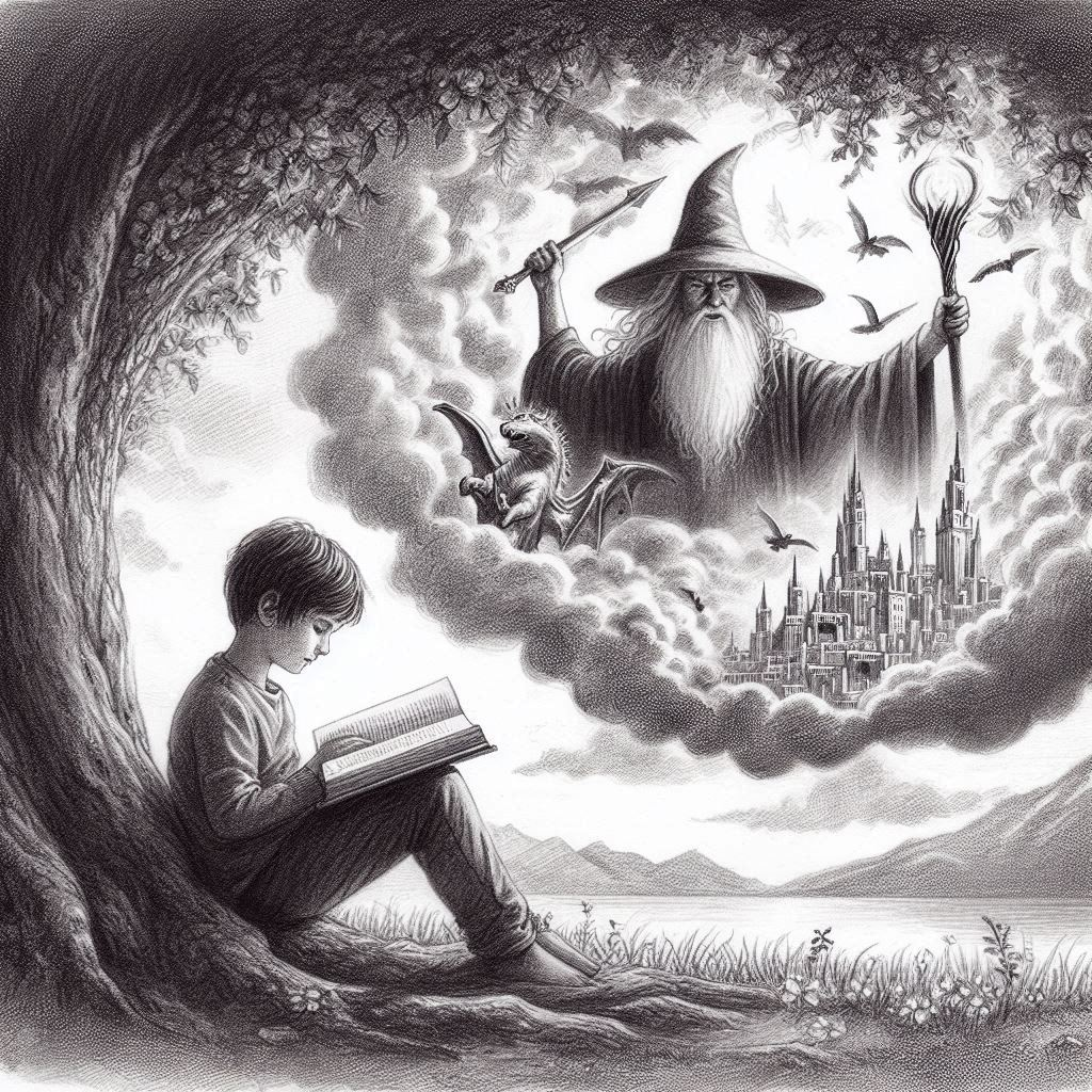
Minas Tirith on my mind
“Krystof reads every day”.
It was probably true, or at least close. My parents had a huge library that spanned most of our house growing up. There were books on huge shelves in all of the bedrooms, in my dad’s office, and in the living room. I genuinely thought we had a copy of all the books worth reading in the whole world. If someone at school recommended a specific book, I’d ask my mom, and I’d have it on my bed stand the same day or the next. If I didn’t have a specific book in mind, my mom would say she’d think about it and come back with something fun.
When I was growing up in Czechia, there was exactly one TV channel, unimaginatively called “Czech TV”. When there was anything even remotely interesting on it, you and all your friends watched it. Later that same public broadcaster added a second channel (“Czech TV 2”), but that was more of the same, now with more soccer games. The big shift came when we finally got the first public broadcaster, TV Nova. They weren’t so tied to the old ways and introduced us to edgier American entertainment.
There are a few shows that stand out: Xena, Hercules, Renegade, Highlander. But there’s another one that made a powerful impression: Tropical Heat. Check out these intro titles:
Women in bikinis, sandy beaches, and driving around in a Jeep Wrangler with no doors (never mind a roof) - that’s what life in America was like. The protagonist, “Nick Slaughter”, always wears an unbuttoned Hawaiian shirt and solves problems with his fists. That’s what it meant to be cool.
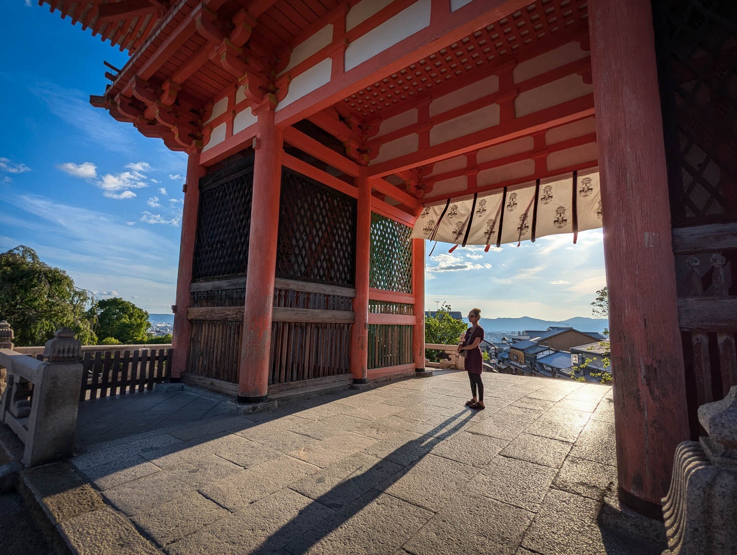
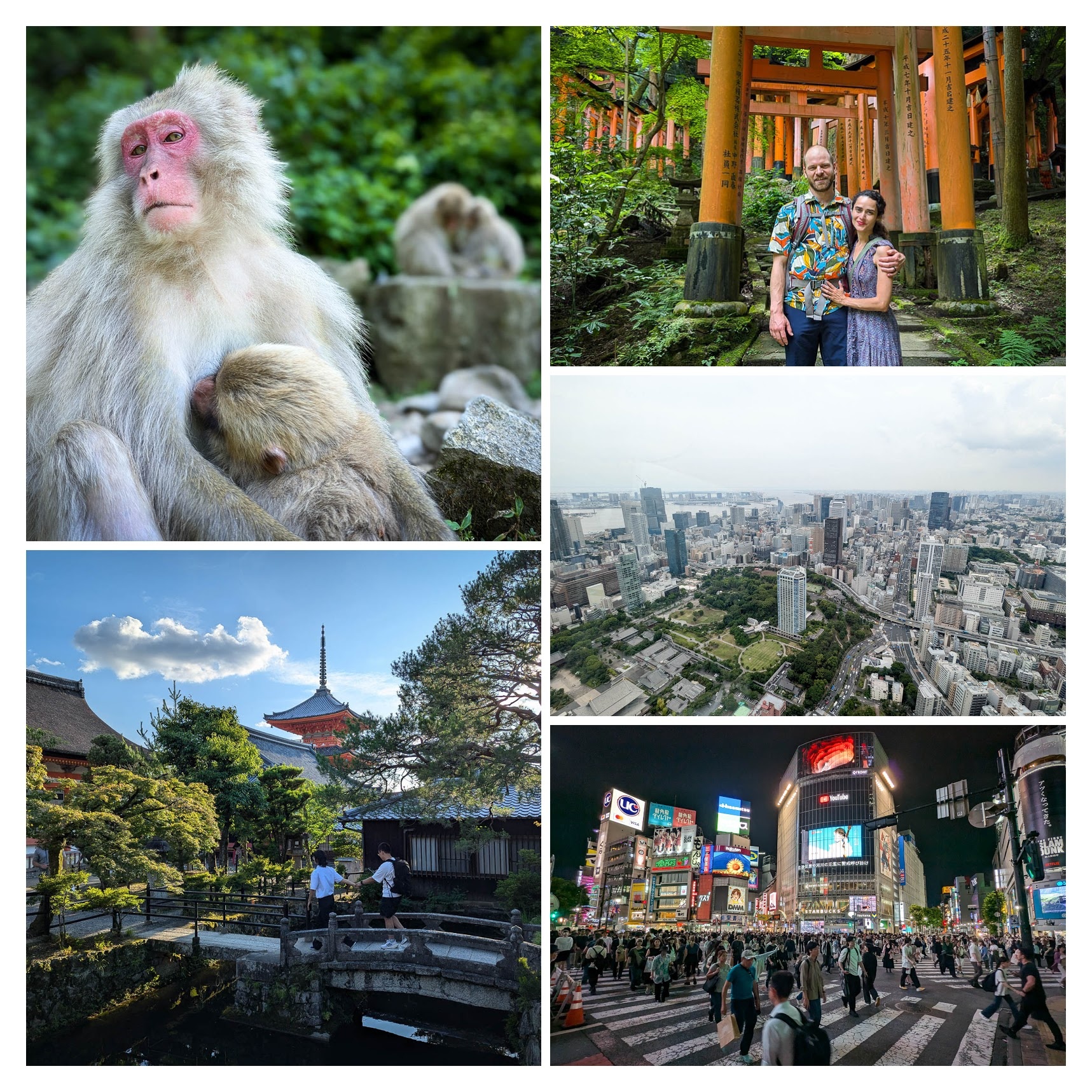
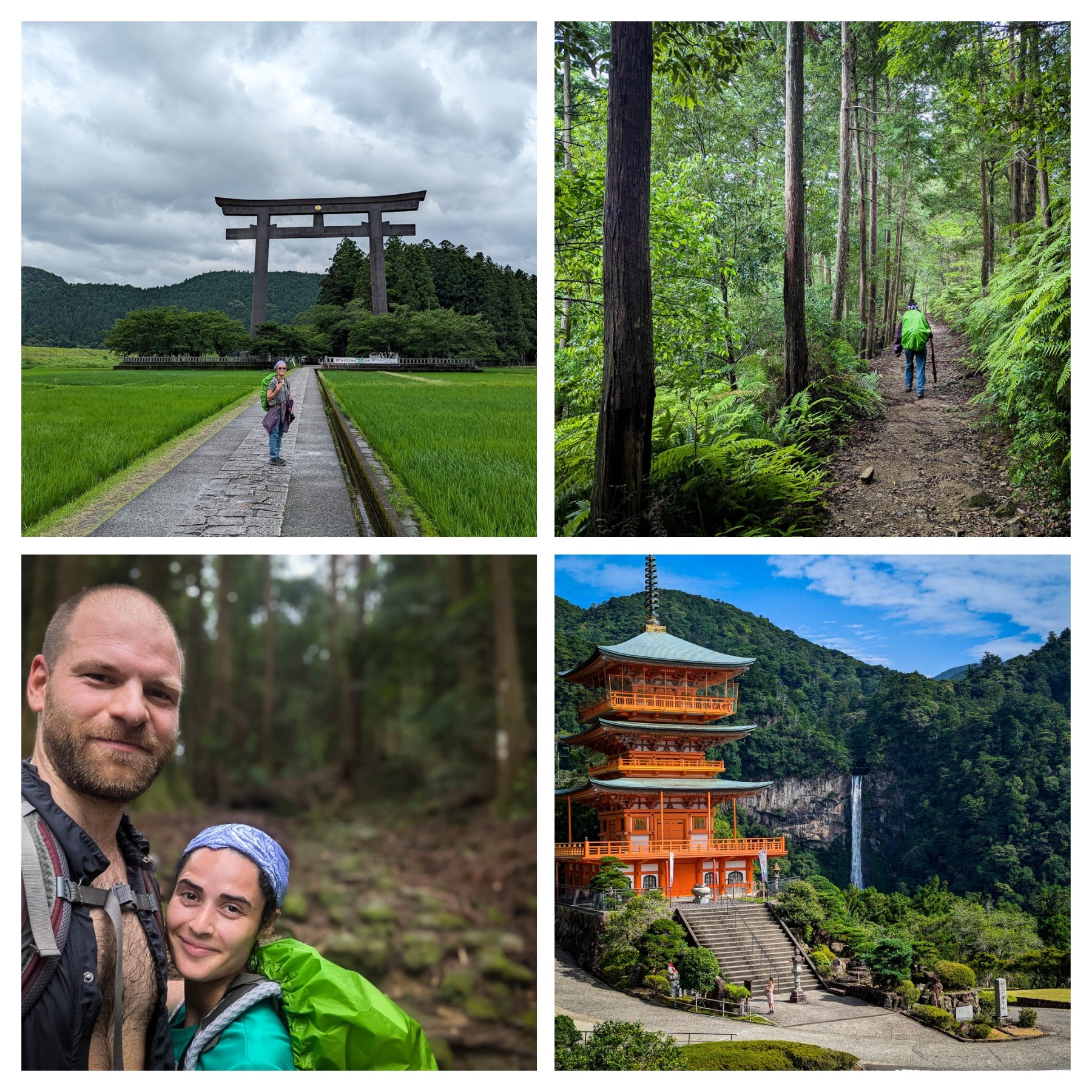
We visited Tokyo, Jigokudani, Kyoto, hiked on the Kumano Kodo, finally spent a lazy few days on the Izu Peninsula. Hiking the ancient pilgrimage route on the Kumano Kodo was particularly special, so I made that a separate post, which you can find here. I’ll tell you about all the rest here.
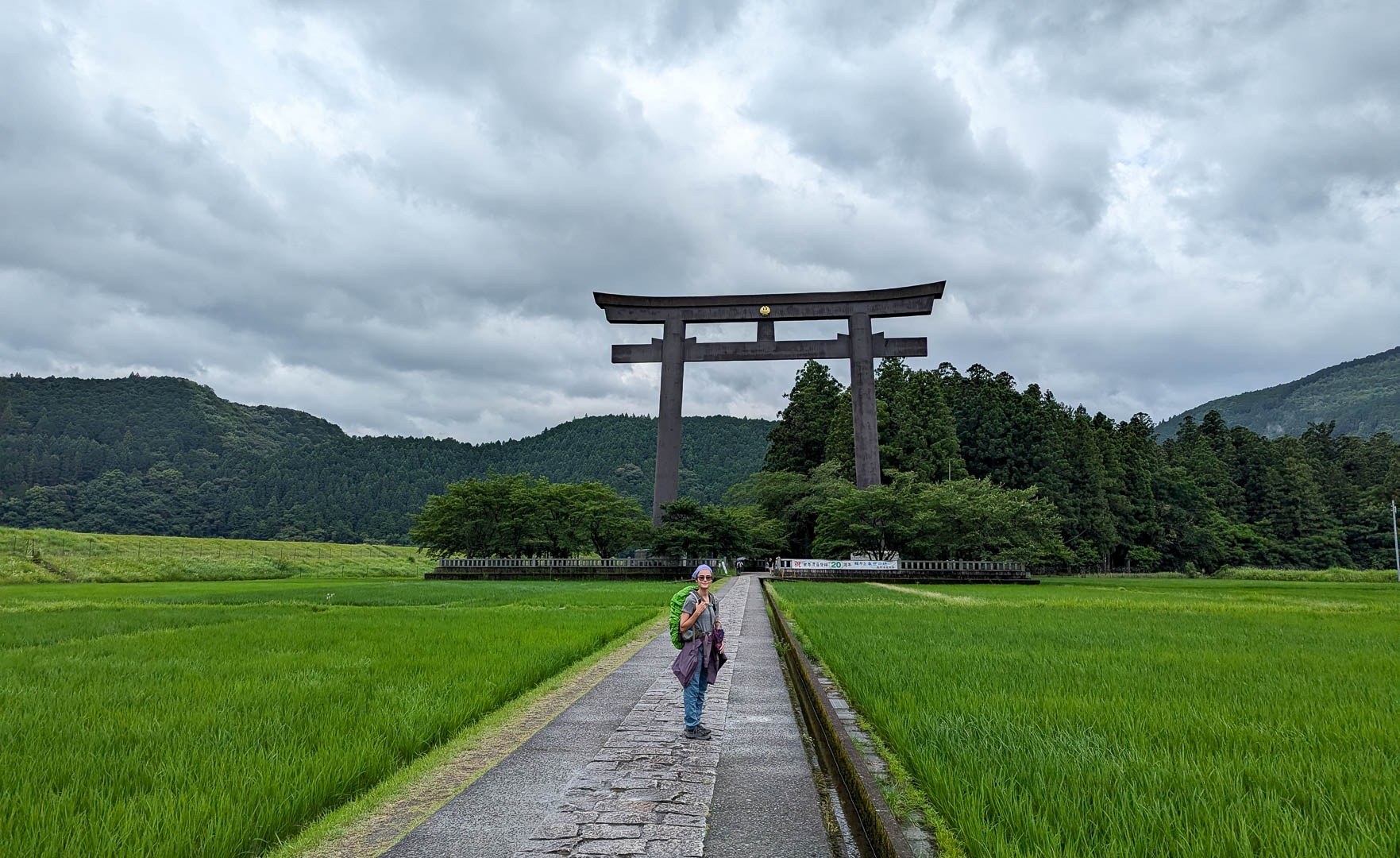
The Kumano Kodō is a series of ancient pilgrimage routes that crisscross the Kii Peninsula. These mountainous trails are used by pilgrims to the … Three Grand Shrines of Kumano: Kumano Hongū Taisha, Kumano Nachi Taisha and Kumano Hayatama Taisha… It has been visited by pilgrims seeking healing and salvation as a site of religious significance for over a thousand years. People with backgrounds from peasants to emperors would visit the region. Wikipedia
Collage from the Kumano Kodo
Stephanie and I had a wonderful three-day trip along the Nakahechi Route from Hongu to Nachisan, with nights in Yunomine Onsen, Koguchi, and Nachisan.